Tuesday, May 25, 2021

Famine India under british rule(planned to control Indians)

582 Famine India Premium High Res Photos

Browse 582 famine india stock photos and images available or start a new search to explore more stock photos and images.

of 10


Timeline

Chronological
Chronological list of famines in India between 1765 and 1947[1]
YearName of famine (if any)British territoryIndian kingdoms/Princely statesMortality
list of famines in India between 1765 and 1947[1]
Year Name of famine (if any) British territory Indian kingdoms/Princely states Mortality Map or illustration
1769–70 Great Bengal Famine Bihar, Western Bengal
2-10 million [2][3]
The Bengal region shown in a later map (1880)
1783–84 Chalisa famine
Delhi, Western Oudh, Eastern Punjab region, Rajputana, and Kashmir 11 million people may have died during the years 1782–84. Severe famine. Large areas were depopulated.[4]
Oudh, the Doab (land between the Ganges and Jumna rivers), Rohilkhand, the Delhi territories, eastern Punjab, Rajputana and Kashmir, were affected by the Chalisa famine.
1791–92 Doji bara famine or Skull famine Madras Presidency Hyderabad, Southern Maratha country, Deccan, Gujarat, and Marwar 
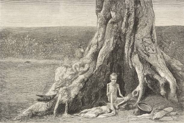
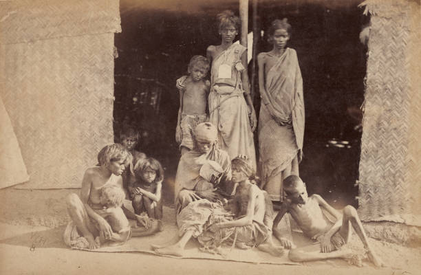
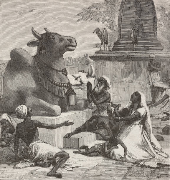
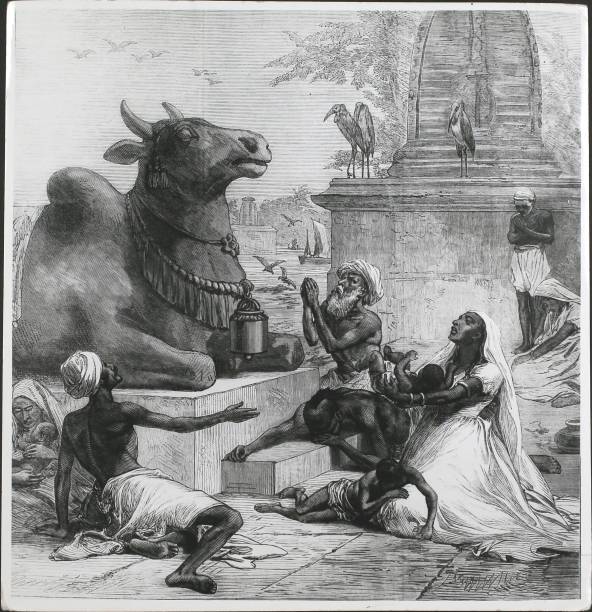
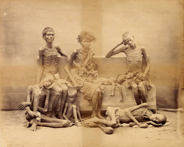
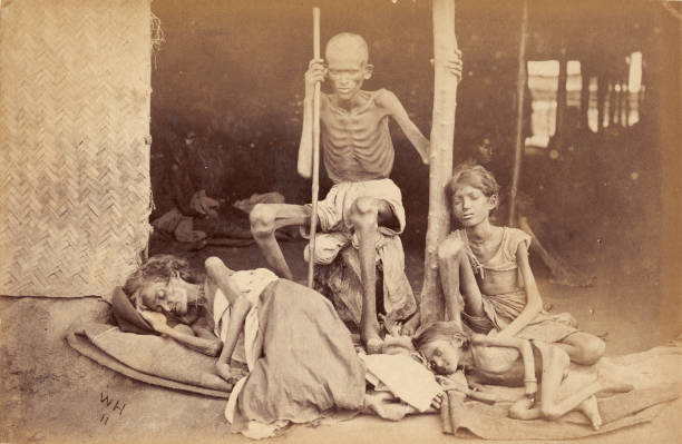
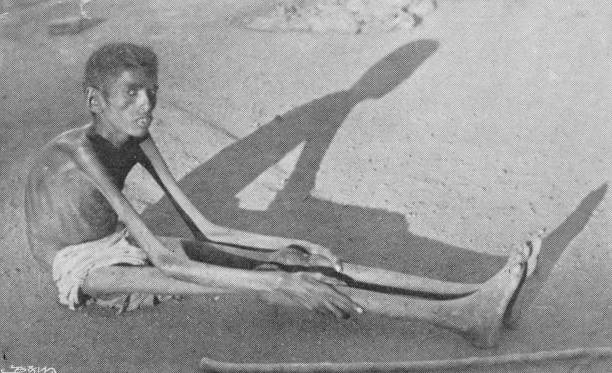
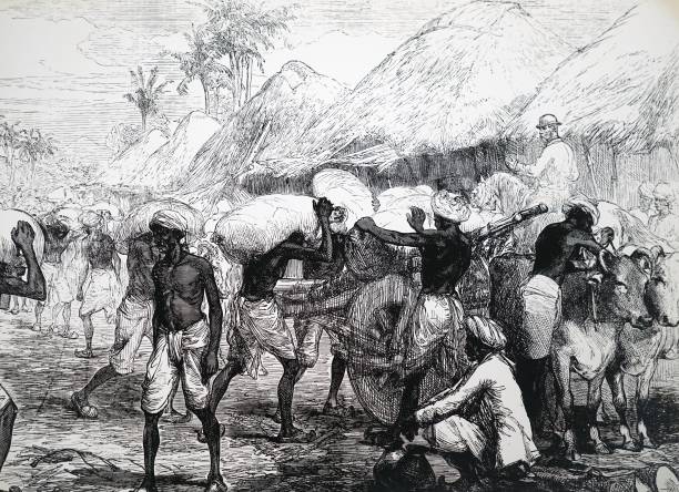
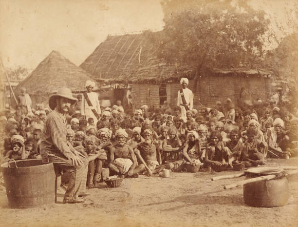
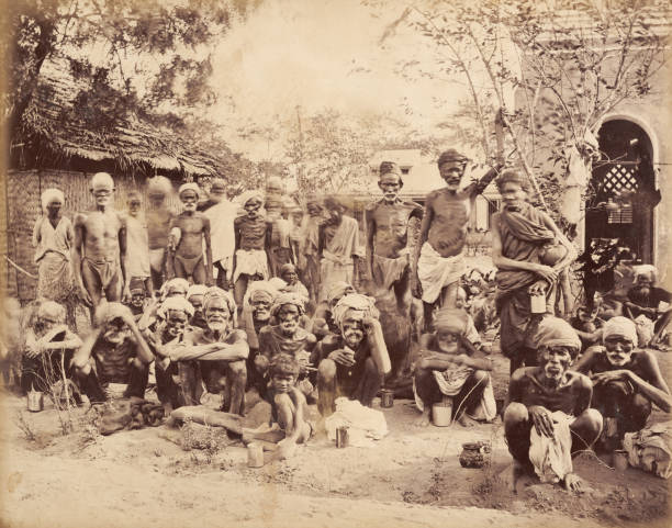
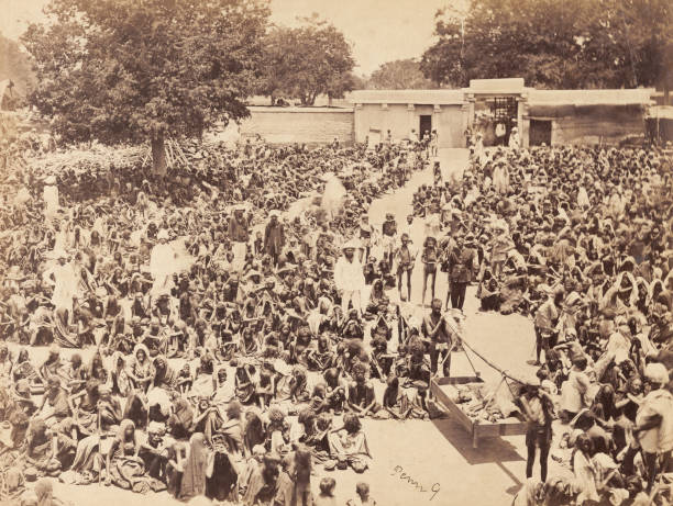
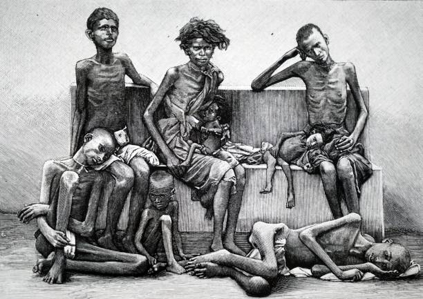
11 million perished during the years 1788–94. One of the most severe famines known. People died in such numbers that they could not be cremated or buried.[5]
Map of India (1795) shows the Northern Circars, Hyderabad (Nizam), Southern Maratha Kingdom, Gujarat, and Marwar (Southern Rajputana), all affected by the Doji bara famine.
1837–38 Agra famine of 1837–38 Central Doab and trans-Jumna districts of the North-Western Provinces (later Agra Province), including Delhi and Hissar
0.8 million (or 800,000).[6]
Map of the North-Western Provinces showing the region severely afflicted by the famine (in blue)
1860–61 Upper Doab famine of 1860–61 Upper Doab of Agra; Delhi and Hissar divisions of the Punjab Eastern Rajputana 2 million [6]
A map showing the Doab region
1865–67 Orissa famine of 1866 
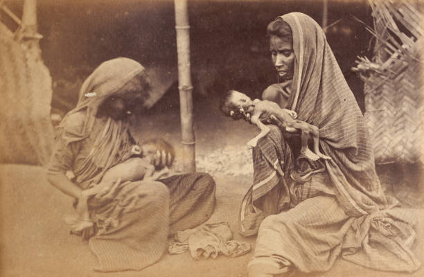
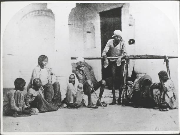
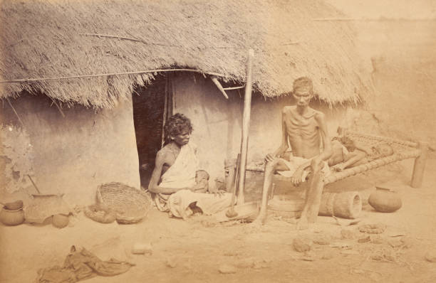
Orissa (also 1867) and Bihar; Bellary and Ganjam districts of Madras
1 million (Orissa) and approximately 4-5 million in the entire region [7]
A 1907 map of Orissa, now Odisha, shown as the southwestern region of 
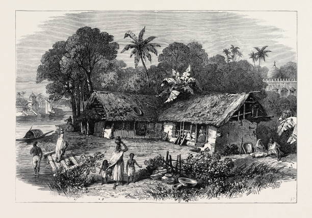
Greater Bengal. Coastal Balasore district was one of the worst-hit areas in the Odisha famine of 1866.
1868–70 Rajputana famine of 1869 Ajmer, Western Agra, Eastern Punjab Rajputana 
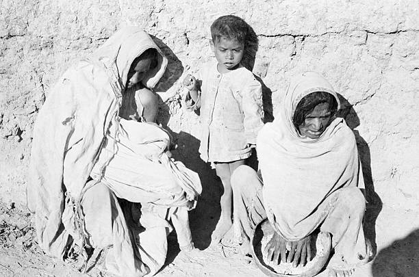
1.5 million (mostly in the princely states of Rajputana) [8]
Map of Rajputana consisting of the princely states of the Rajputana Agency and the British territory of Ajmer-Merwara, in 1909; the map was little changed since the year of the famine, 1869.
1873–74 Bihar famine of 1873–74 Bihar
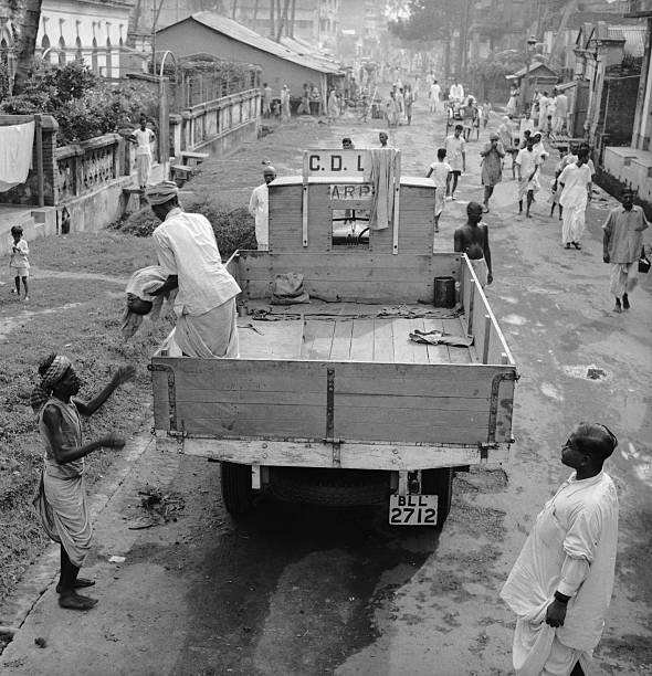
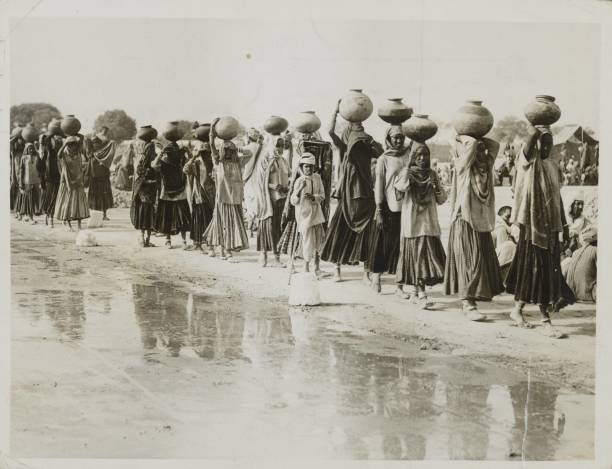
Because of an extensive relief effort organized by the Bengal government, there were little to no significant mortalities during the famine [9]
A 1907 map of Bihar, British India, shown as the northern region of Greater Bengal. Monghyr district (top middle) was one of the worst-hit areas in the Bihar famine of 1873–74.
1876–78 Great Famine of 1876–78 (also Southern India famine of 1876–78) Madras and Bombay Mysore and Hyderabad 5.5 million in British territory [6] Mortality unknown for princely states. Total famine mortality estimates vary from 6.1 to 10.3 million [10]
Map of the British Indian Empire (1880), showing where the famine struck. Both years: Madras, Mysore, Hyderabad, and Bombay); during the second year: Central Provinces and the North-Western Provinces, and a small area in the Punjab
1896–97 Indian famine of 1896–97 
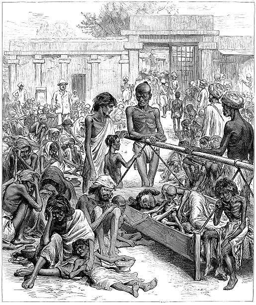
Madras, Bombay Deccan, Bengal, United Provinces, Central Provinces. Also parts of Punjab specially Bagar tract.[11] Northern and eastern Rajputana, parts of Central India and Hyderabad 
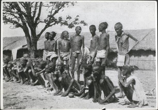
5 million [12] ( 1 million in British territory.[6] [a]) 12 - 16 Million (in British Territories according to contemporary Western journalist accounts)[15]
Map from Chicago Sunday Tribune, January 31, 1897, showing the areas in India affected by the famine.
1899–1900 Indian famine of 1899–1900 Bombay, Central Provinces, Berar, Ajmer. Also parts of Punjab specially Bagar tract.[11] Hyderabad, Rajputana, Central India, Baroda, Kathiawar, Cutch, 1 to 4.5 million (in British territories).[6] Mortality unknown for princely states.[b] Estimated to be 3 to 10 million (in British territories according to contemporary scholars and economists)[16]
Map of Indian famine of 1899–1900 from Prosperous British India by William Digby
1943–44 Bengal famine of 1943 Bengal
1.5 million from starvation; 2.1 to 3 million including deaths from epidemics.[17]
A map of the districts of Bengal, 1943, from Famine Enquiry Commission, Report on Bengal, 1945